Map Server on Elbe5
I host a private map server with data from OpenStreetMap.
Names have been complemented with latin writing where necessary.
Standard layout
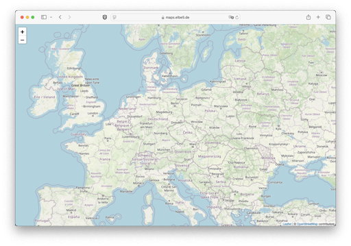
For standard layout the carto styles of openstreetmap-carto are used.
The template for single tiles is
https://tiles.elbe5.de/carto/{z}/{x}/{y}.png
The address is
Topographic layout
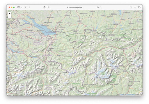
For topografic maps elevation lines and background shades have been calculated from SRTM-Data.
Ausserdem wurden
Hiking tracks use OSM data sac_scale:... and hiking:yes.
The template for single tiles is
https://tiles.elbe5.de/topo/{z}/{x}/{y}.png
The address is